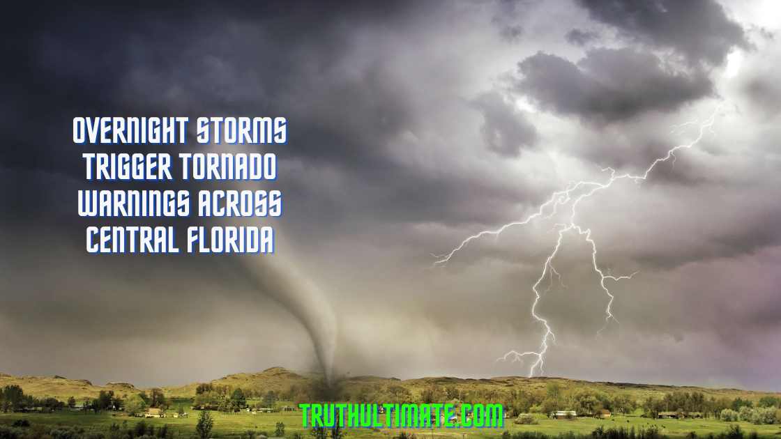
Multiple counties across Central Florida were placed under tornado warnings during the overnight hours early Thursday morning. The warnings have since expired, but residents are on alert as additional severe weather threatens the region.
Possible Twister Touches Down in Palm Coast
There are reports of a potential tornado touching down in the town of Palm Coast. Though not yet confirmed by officials, the twister allegedly struck the B-section of Palm Coast. While no injuries were reported, officials say major damage was caused in the area.
Central Florida Under Tornado Watch Through Morning
With damaging winds and isolated tornadoes possible, local weather forecasters have declared a First Warning Weather Day for Thursday. The biggest push of severe weather started after midnight and will continue into the morning hours.
An increasingly unstable atmosphere raises the risk of twisters and powerful gusts.
Much of the Orlando area and surrounding counties remain under a tornado watch until 9 AM as the storms persist.
This includes Orange, Flagler, Seminole, Lake, Volusia, Sumter and Polk counties among others. Residents are urged to closely monitor updated forecasts.
More Severe Weather Coming Later on Thursday
Additional severe storms are forecasted to impact Central Florida again later Thursday. Scattered robust storms with damaging winds and possible tornadoes are expected during the late morning through early evening.
Stormy Pattern Continues Before Cold Front Arrives
The unsettled weather is predicted to last through Saturday before a cold front sweeps the region. This front will bring much drier and cooler conditions for the weekend and into next week.
Residents are encouraged to remain alert and have a safety plan ready as the tornado risk continues across the Orlando area. Officials advise seeking shelter immediately if a warning is issued for your location. Stay tuned to local media for the latest severe weather updates.